Natural environment
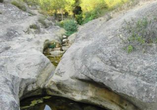
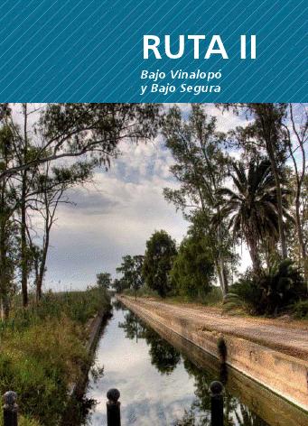
River Segura
El Segura is born in Pontones, province of Jaén, and in its route crosses Albacete, Murcia and Alicante where it ends in the Mediterranean Sea by Guardamar del Segura.
The development of bordering populations has always been closely linked to agriculture.
The Iberians were the first civilization to settle on the banks of the Segura River and take advantage of their resources by developing agriculture or fishing. They also learned to identify flood and drought cycles by adapting their farming systems to the river.
The system of irrigation that was established in the Vega del Segura was initially drawn by the Arabs, although the Romans already used the ditches and small aqueducts to facilitate their use.
The Arabs were able to take full advantage of the resources offered by the Segura, establishing an extensive network of pipelines that carried water to all the fields of their basin. Norias, mills, bridges and other constructions flooded the landscape along the river, allowing the flourishing of agriculture.
But over time, the economic boom and prosperity generated became a problem of massification, derived from the exploitation of its banks and the intensive cultivation in its plains. A problem that forced to establish systems of distribution of water that are maintained at present.
Not only did the environment influence the reduction of rainfall in the whole of the river, but the man’s hand also had an important role in the uses of the channel. The deforestation of the eighteenth century and especially that of the second half of the nineteenth had disastrous consequences for the river regime.
The medieval water resources and the modern age, until the late nineteenth century, were greater than today. However, the absence of reservoirs from circulation caused that the regime of the fluvial courses was much more irregular until 1950-1960. That is why there were continuous floods in autumn, winter, and severe droughts.
On the one hand, numerous floods damaged irrigation infrastructures and contaminated drinking water, but on the other hand they helped to humidify the soil in depth and enriched its aquifers.
Some of the most known and catastrophic floods were, for example those of 1987 and 1989 causing numerous human and material losses.
After the economic and demographic boom of the eighteenth and nineteenth centuries, contemporary Murcia is marked by deep droughts and major floods, in addition to the war against Napoleon. In the mid-nineteenth century economic growth occurs due to the exploitation of mineral deposits and the timid beginning of industrialization.
The great hydraulic works did not begin to develop until the beginning of century XX, with reservoirs that store water of its tributaries. At the beginning of the century the reservoirs of Alfonso XIII, Talave and La Fuensanta were built, fomenting the development of traditional irrigation.
In 1949, preliminary work began on the construction of the largest dam in its basin: the Cenajo, which operates 19 swamps and azudes to control all the water resources of the river and also avoid the significant damages of the avenues.
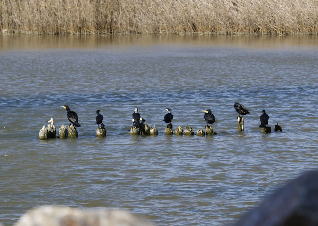
On June 6, 1963, the Head of State Francisco Franco inaugurated the Cenajo swamp. The inauguration took place with a show of light and sound. The Cenajo is located in a place surrounded by mountains, located all type of vegetal species in a natural state, dominating the pine forest on limestones and dolomites, dominating the pine carrasco and an understory of rosemary, juniper and lestic. Likewise the fauna is just as varied: hawks, eagles, wild boars, foxes, squirrels and other smaller ones. The abundance of rocks allows the nesting of halcoles and Bonelli’s eagles.
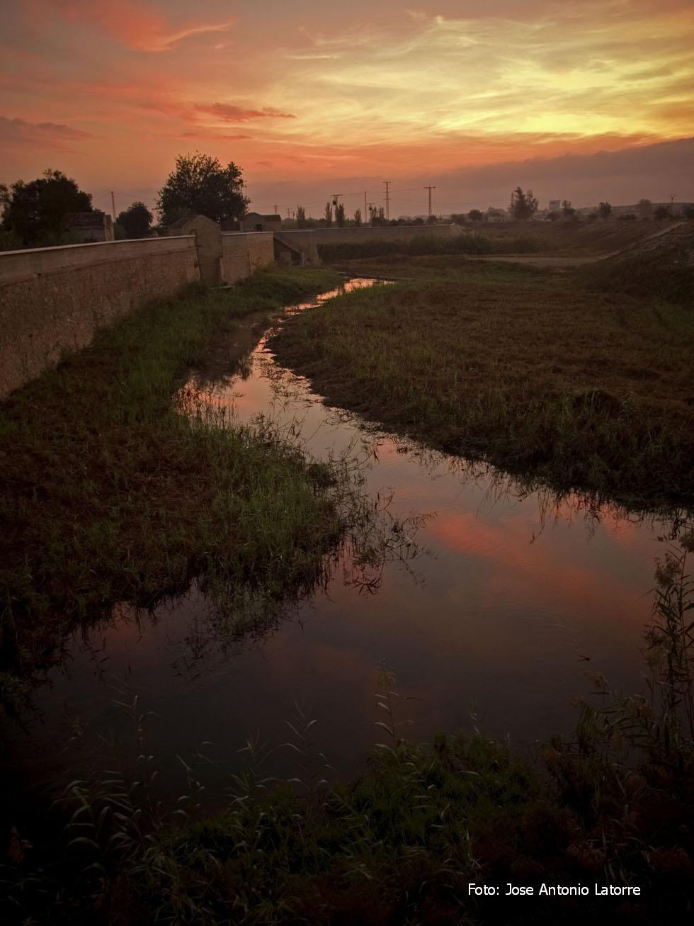
When referring to Watershed, reference is made to both the river basin and the set of tributaries, rambles and aquifers that are distributed along its central axis, distributing the flows in both margins.
In 1968 the construction of the Tajo-Segura Transvase began, which allowed the expansion of agricultural irrigation areas and ensure the permanence of traditional areas. In 1971, the state enacted a law known as the Tajo-Segura joint exploitation, establishing a transferable flow rate of 600 Hm3 in the first phase and 1,000 Hm3 in a second phase.
The dam Azud de Ojós was built in 1975 to derive the waters of the Tajo-Segura Transvase, and from there, a minimum part of the flow continues through its natural channel: the rest drifted to the left to the Crevillente Channel, and From this, to the reservoir of La Pedrera and to the right the water is led to irrigate the fields of Lorca and Almeria. Finally, the Vega Baja begins with the entrance of the river in the province of Alicante.
Azud de Alfeitamí
The Azud de Alfeitamí, a costly investment largely financed by the Almoradidans, was nevertheless a fundamental element for the take-off of the economy and the population both in Almoradí and other nearby towns.
Over time it has undergone changes, partly due to the necessary repairs and partly due to the improvement of the applicable technologies. Next to the dam there was a mill, now disappeared, that took advantage of the force of the waters to transform the cereal into flour. Part of the machinery of that mill can be observed in the Institute of Secondary Education that takes its name in Almoradí.
Sotos
On the green route we find the soto dedicated to the Mimosa (Acacia cyanophylla) next to a new large soto (63.000 m2), with a large space for recreation, picnic area, children’s games, etc.
The Segura river sotos have been restored in the last years revegeando them with endemic trees and others own of the culture of Almoradí like leaders (Celtis australis), tarays (Tamarix gallica), poplars (Populus sp.), Carob trees (Ceratonia siliqua), Olive trees (Olea europea), date palms (Phoenix dactylifera), canary palms (Phoenix canariensis), etc. Together with shrub species such as Baladre (Nerium oleander), Piteras (Agave americana), odor broom (Spartium junceum), etc.

Blue Routes
The one concerning our Rio Segura, RUTA AZUL II, you can download it directly by clicking here:
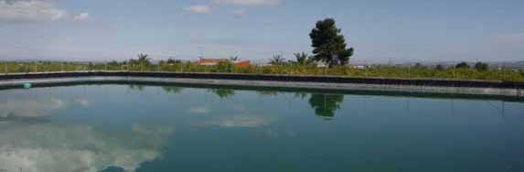
Huerta


The orchard constitutes a cultural, socio-economic and environmental landscape, the result of the work of many generations over centuries, constituting environmental, cultural and economic values, which are the main hallmark of the region. In addition to economic and productive value, the garden itself is a space to be conserved so that it does not disappear from the environmental and patrimonial values.
As for the crops featured in Almoradí are citrus and various vegetables and vegetables, among which stands the Artichoke.
Hoyo Serrano