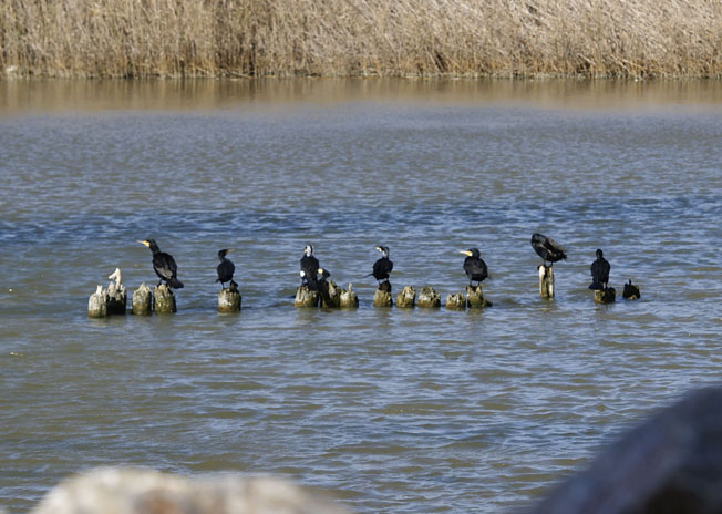
Segura River
The Segura River, known as the Thader (Palm) by the Romans and War-Alabiat (White River) by the Arabs, has almost 18,815 square kilometers of basin in total and 325 kilometers in length.
El Segura is born in Pontones, province of Jaén, and in its route crosses Albacete, Murcia and Alicante where it ends in the Mediterranean Sea by Guardamar del Segura.
The development of bordering populations has always been closely linked to agriculture.

Iberian, Roman and Arab reminiscences.
The Iberians were the first civilization to settle on the banks of the Segura River and take advantage of their resources by developing agriculture or fishing. They also learned to identify flood and drought cycles by adapting their farming systems to the river.
The system of irrigation that was established in the Vega del Segura was initially drawn by the Arabs, although the Romans already used the ditches and small aqueducts to facilitate their use.
The Arabs were able to take full advantage of the resources offered by the Segura, establishing an extensive network of pipelines that carried water to all the fields of their basin. Norias, mills, bridges and other constructions flooded the landscape along the river, allowing the flourishing of agriculture.
But over time, the economic boom and prosperity generated became a problem of massification, derived from the exploitation of its banks and the intensive cultivation in its plains. A problem that forced to establish systems of distribution of water that are maintained at present.
Floods and droughts
Not only did the environment influence the reduction of rainfall in the whole of the river, but the man’s hand also had an important role in the uses of the channel. The deforestation of the eighteenth century and especially that of the second half of the nineteenth had disastrous consequences for the river regime.
The medieval water resources and the modern age, until the late nineteenth century, were greater than today. However, the absence of reservoirs from circulation caused that the regime of the fluvial courses was much more irregular until 1950-1960. That is why there were continuous floods in autumn, winter, and severe droughts.
On the one hand, numerous floods damaged irrigation infrastructures and contaminated drinking water, but on the other hand they helped to humidify the soil in depth and enriched its aquifers.
Some of the most known and catastrophic floods were, for example those of 1987 and 1989 causing numerous human and material losses.

